Kyoto Map of Attractions: The 5 Districts & What's in Each
An interactive map of Kyoto's attractions by district — Higashiyama, Arashiyama, Fushimi, the Golden Pavilion northwest, and downtown. See what's in each area and plan your days.
Kyoto looks sprawling on paper, but almost everything visitors come for falls into five clusters — and once you see them on a map, the city plans itself. This interactive map groups Kyoto’s landmarks by district: tap an area below to light up its sights, click any coloured pin for a place card, and follow the link to our in-depth guide for that experience.
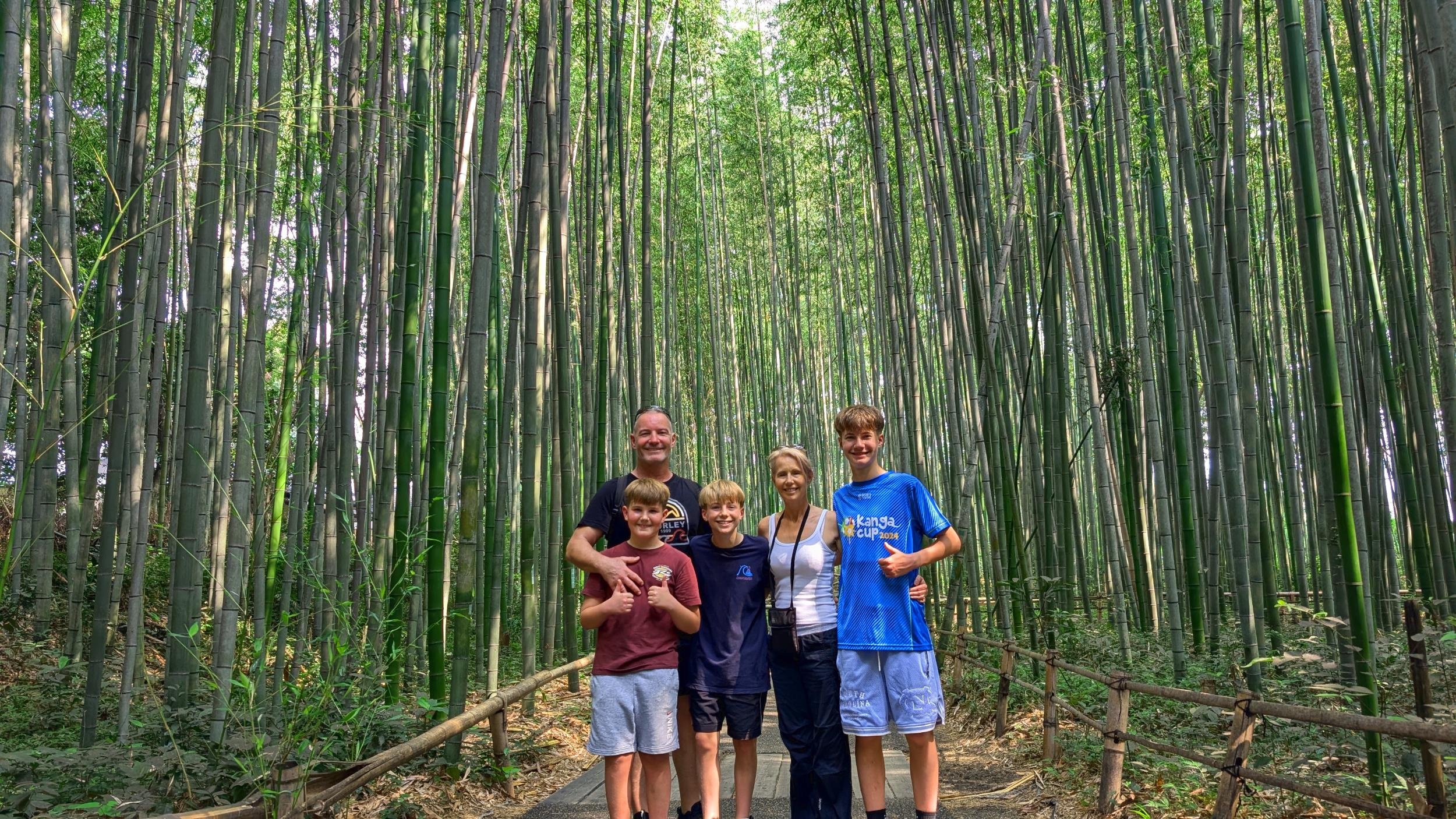
The temple-lined hills of Higashiyama in the east hold the postcard Kyoto — Kiyomizu-dera, the Yasaka Pagoda, and the geisha quarter of Gion — all walkable in a single day on foot. Across the city to the west, Arashiyama packs the famous bamboo grove, the UNESCO Zen garden of Tenryu-ji, the Togetsukyo Bridge and a hillside monkey park into one green half-day.
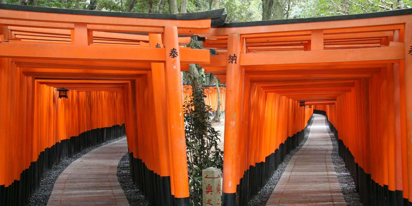
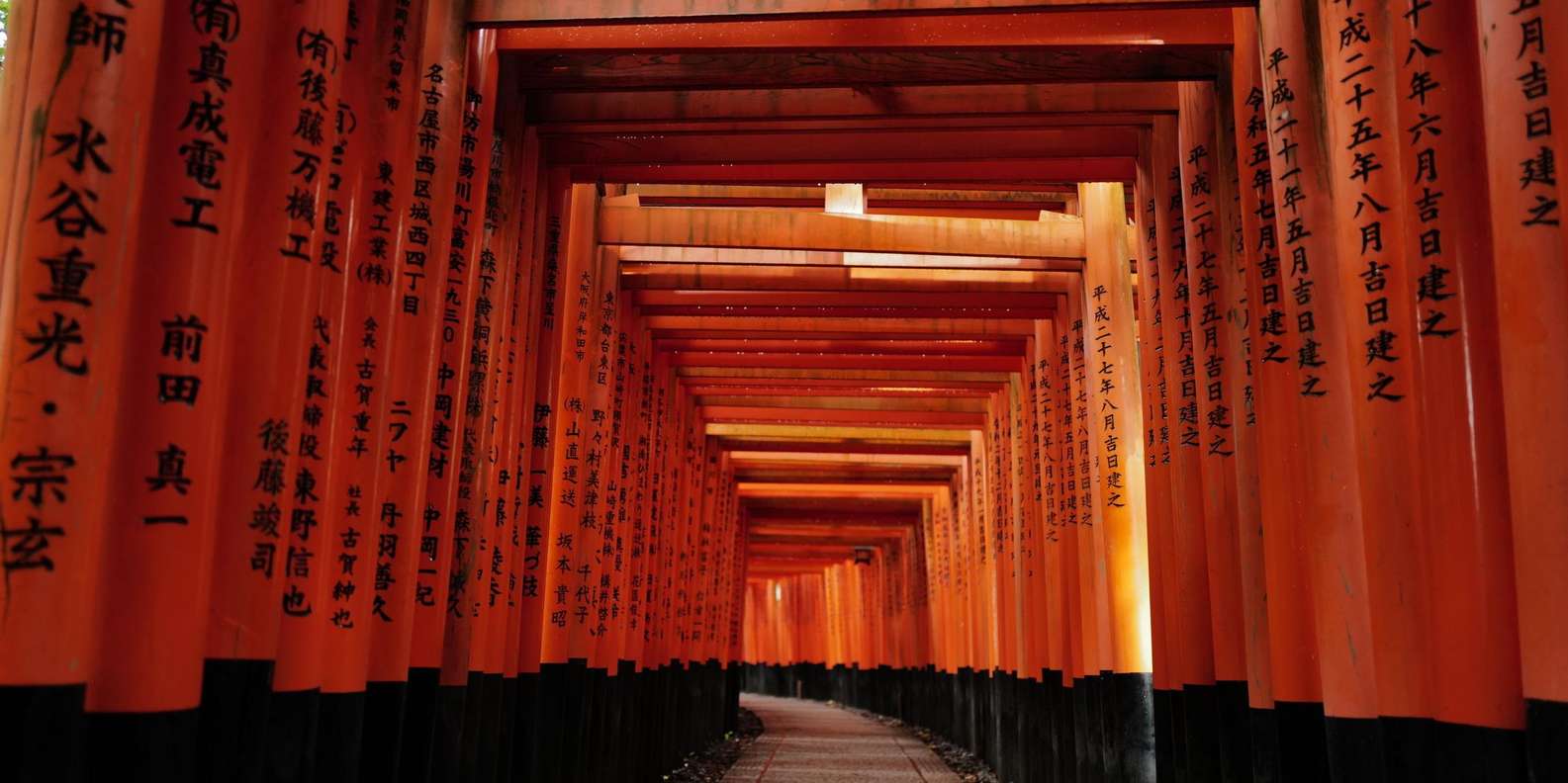
South of the centre, Fushimi is home to Fushimi Inari Taisha — the mountain of roughly 10,000 vermilion torii gates, free and open 24 hours — plus the canal-lined sake district that has brewed Kyoto’s rice wine for centuries. Out in the northwest stand two of the city’s most famous sights: the gold-leaf Kinkaku-ji mirrored in its pond, and Ryoan-ji, the most famous Zen rock garden in Japan.
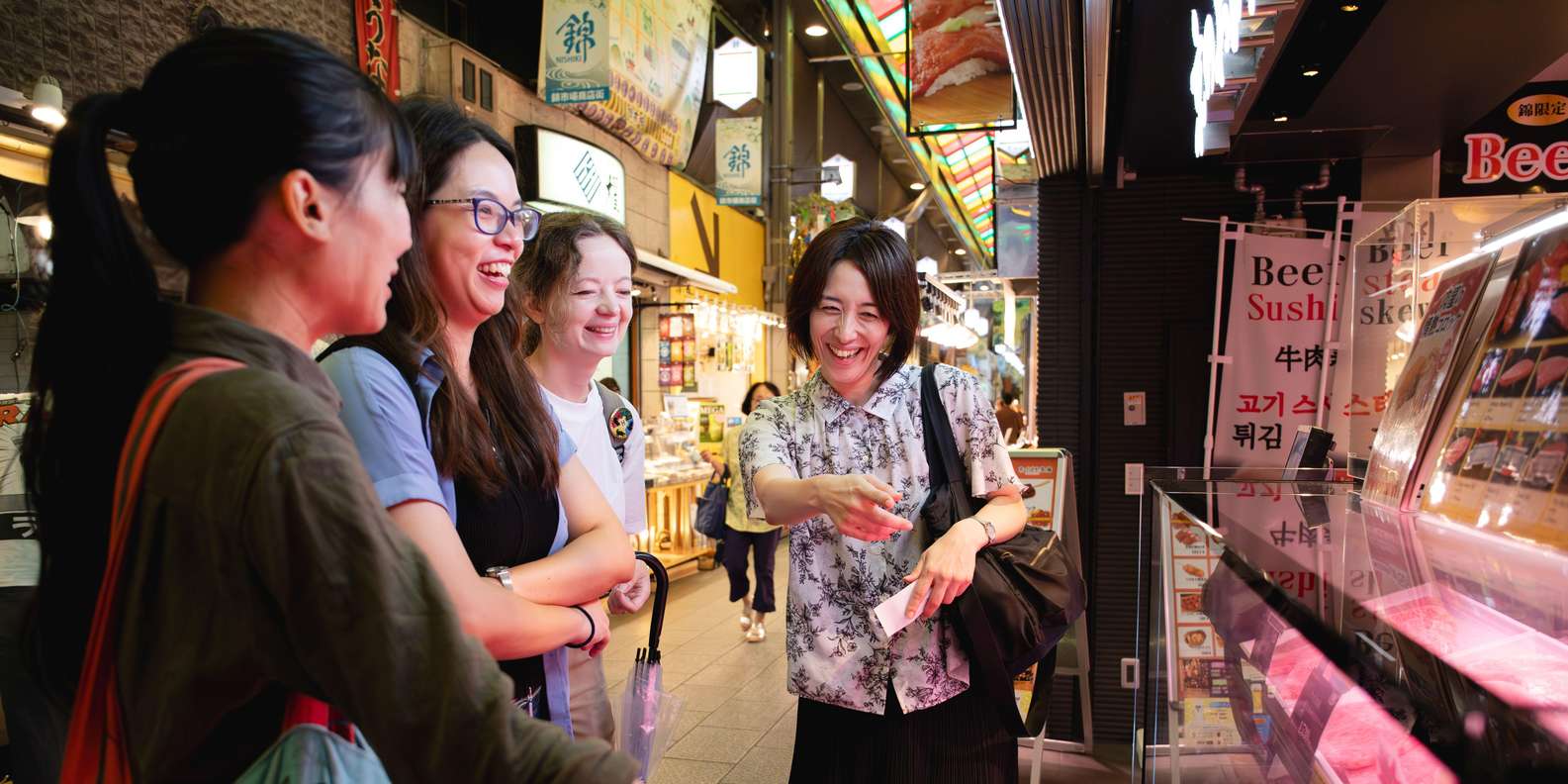
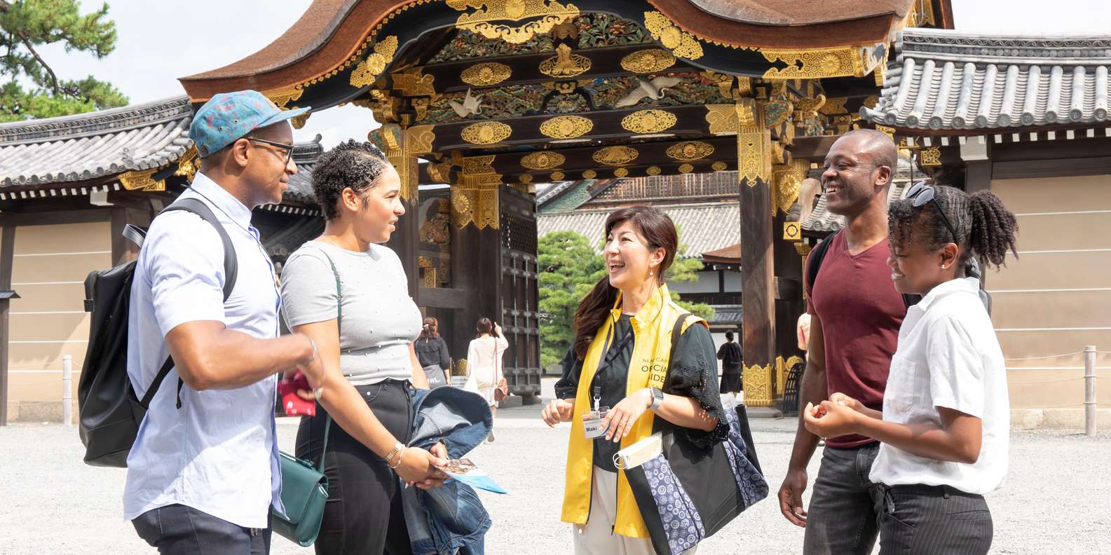
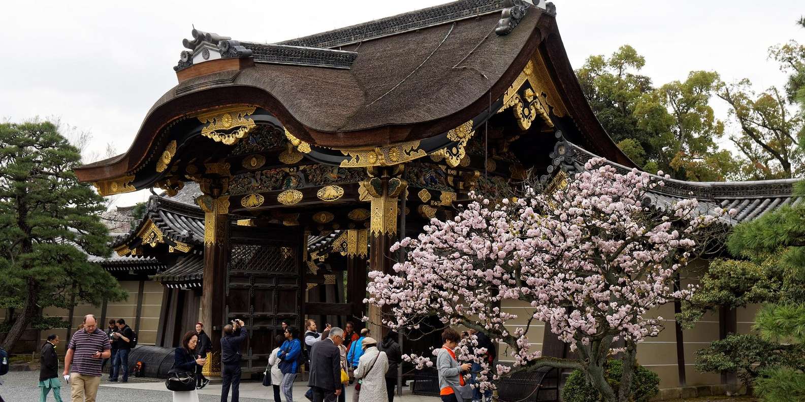
And in the flat downtown core — where you’ll most likely eat and sleep — sit Nishiki Market (“Kyoto’s Kitchen”), the shogun’s Nijo Castle, the lantern-lit dining alley of Pontocho, and the parkland of the Kyoto Imperial Palace. Kyoto’s whole historic centre, together with Uji and Otsu, forms the 17-property UNESCO “Historic Monuments of Ancient Kyoto.”
The smart way to use the map: give each district its own half-day rather than crisscrossing the city, go early to beat the crowds, and see what’s worth booking ahead before you lock in your dates.
Travellers also search
Tap a district below (or a coloured pin) to light up its landmarks — the rest stay as dots. Click any pin for the place card, or ◉ Locate on a card to fly the map to it. Each landmark links to our in-depth guide for that experience. Map data © OpenStreetMap contributors.
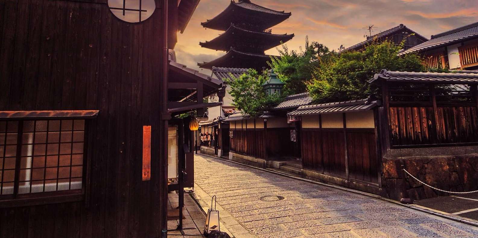
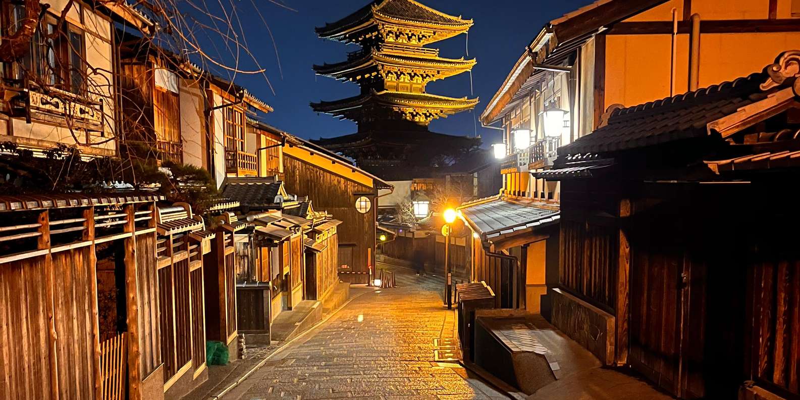
The classic postcard Kyoto. A walkable strip of temple-lined hills below the eastern mountains, threaded with stone lanes — Kiyomizu-dera, the Yasaka Pagoda, the geisha quarter of Gion, and the city's oldest Zen temple. Most first-timers spend a full day here on foot.

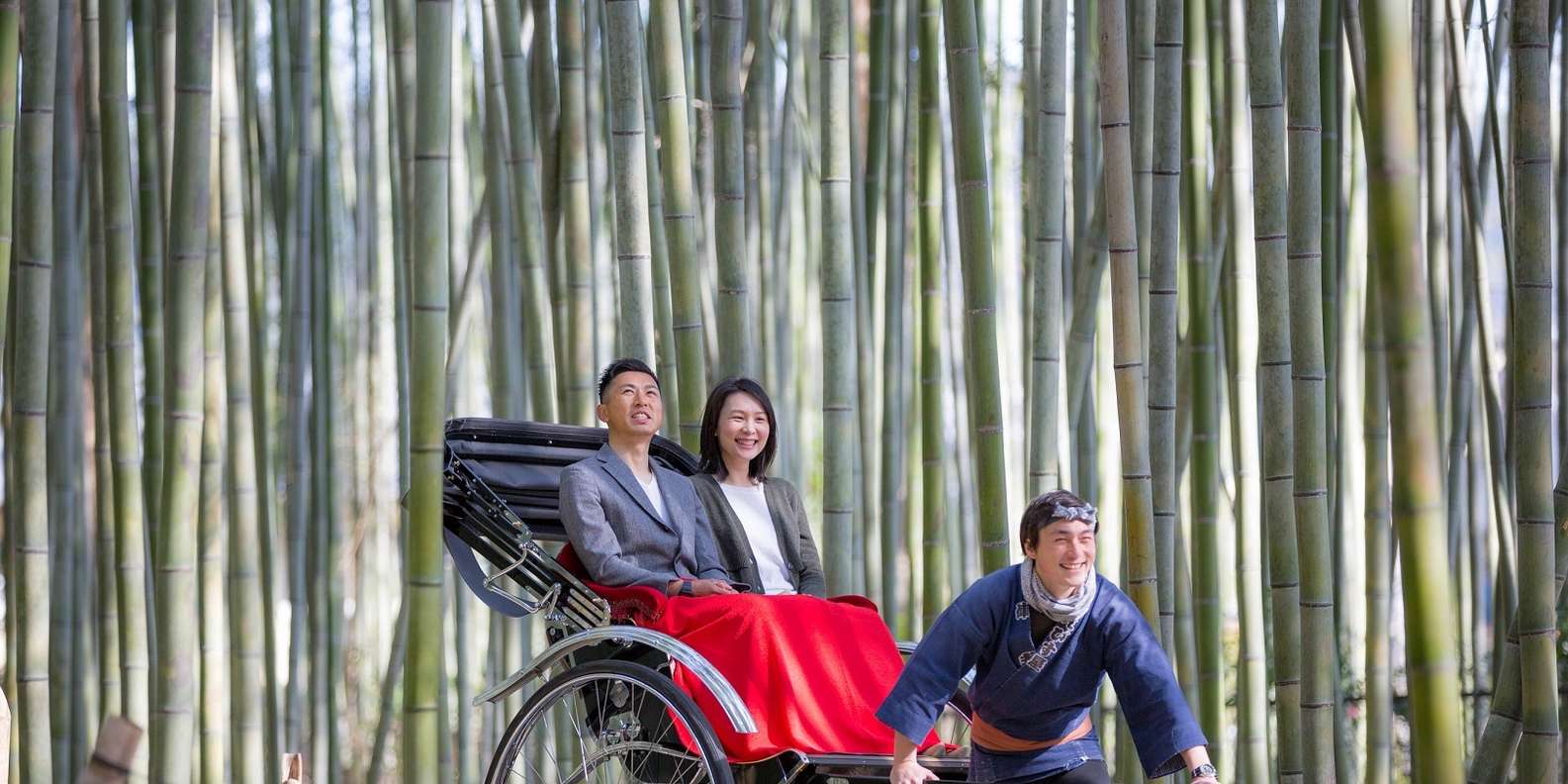
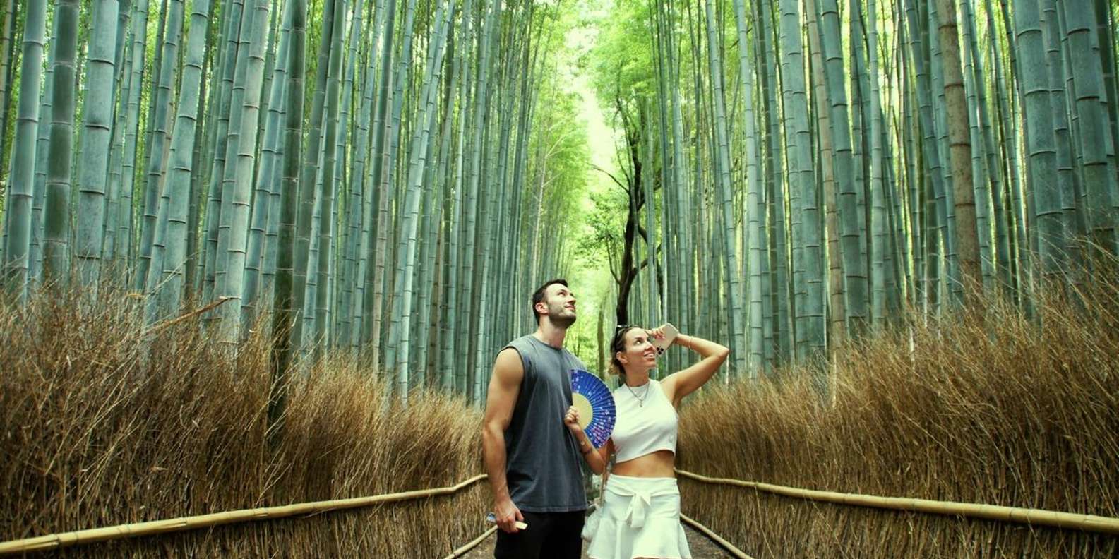
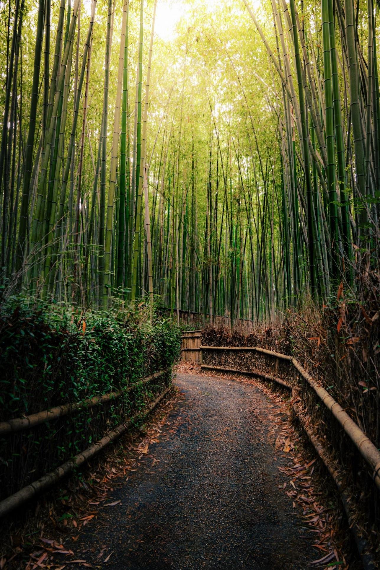
Kyoto's green western edge along the Hozu River. The famous Bamboo Grove, the UNESCO Zen garden of Tenryu-ji, the Togetsukyo Bridge, and the hillside Iwatayama Monkey Park cluster within an easy walk — a natural half-day trip from the centre.
South of the centre and a quick train ride away. Fushimi Inari Taisha — the mountain of roughly 10,000 vermilion torii gates — is free and open 24 hours, while the canal-lined Fushimi sake district is the historic heart of Kyoto brewing.

Kyoto's northwest holds two of its most famous sights: the gold-leaf Kinkaku-ji (Golden Pavilion) mirrored in its pond, and the spare raked-gravel Zen garden of Ryoan-ji — the most famous rock garden in Japan.
The flat city centre where you'll likely eat and sleep. Nishiki Market (“Kyoto's Kitchen”), the shogun's Nijo Castle, the lantern-lit dining alley of Pontocho, and the grounds of the Kyoto Imperial Palace are all walkable from Kawaramachi.

Not sure what to book first?
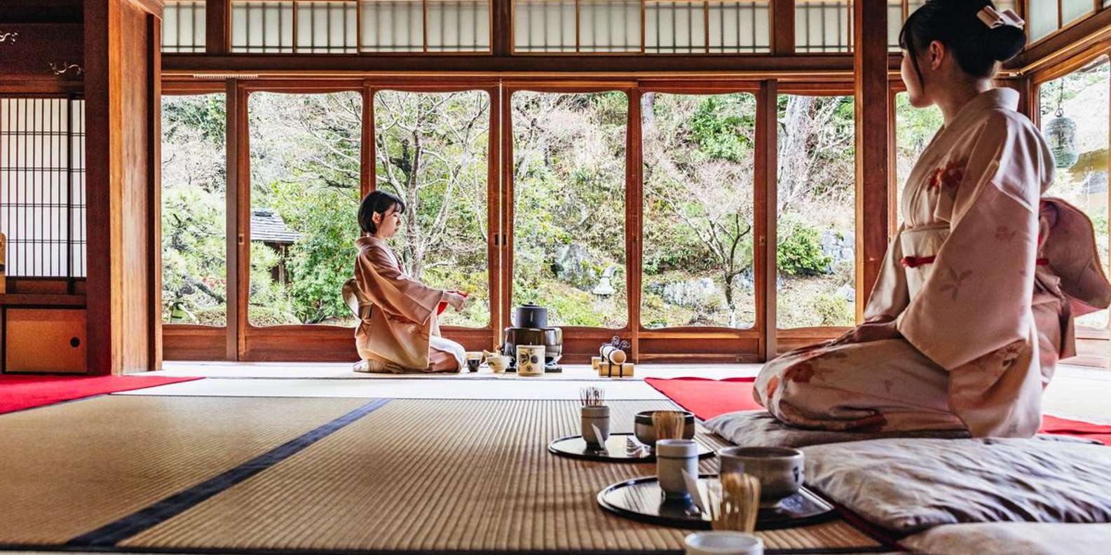
Kyoto's headline sights fill up fast in cherry-blossom and autumn-leaf season. Our planning guide ranks what's worth reserving ahead — early-morning Fushimi Inari, Arashiyama, tea ceremonies and geisha walks — and what you can simply turn up for.
What to Book in Advance in KyotoPlan the rest of your trip with our Kyoto guides: how many days you need, the best time to visit (cherry blossom vs autumn leaves), a realistic daily budget, and whether to go guided or self-guided. Ready to book? Start with Fushimi Inari at dawn, the Arashiyama bamboo grove, or a Gion geisha-district walk.
Kyoto Attractions Map — FAQ
How Kyoto's districts fit together, and what to see in each.
Five districts cover almost everything visitors come for. Higashiyama (east) is the temple-lined old-town strip — Kiyomizu-dera, the Yasaka Pagoda and Gion. Arashiyama (west) has the bamboo grove, Tenryu-ji and the monkey park. Fushimi (south) is Fushimi Inari's torii mountain and the sake breweries. The Northwest holds the Golden Pavilion and Ryoan-ji. Central Kyoto is where you'll eat and sleep — Nishiki Market, Nijo Castle and Pontocho. Tap any district on the map above to light up its landmarks.
If you only have time for five: Fushimi Inari Taisha (the torii-gate mountain), Kiyomizu-dera (the hillside temple in Higashiyama), the Arashiyama bamboo grove, Kinkaku-ji (the Golden Pavilion), and an evening walk through Gion. Three sit in different districts, so use the map to group them efficiently rather than crossing the city twice. Our what-to-book-in-advance guide ranks which of these are worth reserving ahead.
Fushimi Inari Taisha is the single most-visited site — its roughly 10,000 vermilion torii gates draw the biggest crowds, and it's free and open 24 hours. For most first-timers it ties with Kiyomizu-dera and the Arashiyama bamboo grove as the must-see. See timing and access on our Fushimi Inari tour guide.
Kyoto is a grid in a valley. Central Kyoto and Higashiyama sit side by side and are walkable from each other. Fushimi is about 10–15 minutes south by train; Arashiyama is 15–20 minutes west; the Golden Pavilion and the Northwest temples are a bus or taxi ride from the centre. The map above plots all five so you can see which sights cluster together and plan a day per area rather than zig-zagging.
Downtown (Kawaramachi/Karasuma) puts you closest to Nishiki Market, restaurants, trains and Pontocho — the easiest base for most trips. Gion and southern Higashiyama are quieter and more atmospheric, with temples on your doorstep, but pricier and further from the station. Either way you're within a short walk or train of the districts on this map.
Beyond the headline temples, don't skip an early-morning slot at Fushimi Inari or the bamboo grove (both transform once the day-trippers arrive), a stroll through Gion at dusk, and Nishiki Market for lunch. If you have a spare day, the Nara day trip adds the great bronze Buddha and the deer park. Our day-by-day itinerary guide sequences it all.
Cherry blossom (late March–early April) and autumn leaves (mid–late November) are the most beautiful and the most crowded — book key sights well ahead. Summer is hot and humid; winter is quiet and clear. Whatever the season, go early: most landmarks on this map are emptiest before 9 AM. Full season-by-season detail is in our best time to visit Kyoto guide.
Fushimi Inari and most shrines are free walk-ins, but guided tours, tea ceremonies, geisha experiences and popular day trips sell out in peak season. The map's place cards link to our in-depth guide for each experience, and our book-in-advance planner shows live availability and what genuinely needs reserving versus what you can turn up for.
Still have questions? Email us at info@thingstobookinkyoto.com